
A major snowstorm is expected to hit south-eastern Australia later this week, bringing what could be the largest snowfall of the season.
The mountainous regions of New South Wales and Victoria will face the worst of the weather, but some lower-lying areas might also experience light snow and strong winds.
Earlier this week, ski resorts such as Thredbo and Mount Hotham had to temporarily close lifts due to high winds exceeding 80 km/h.
These winds are predicted to intensify, reaching up to 100 km/h as a cold front moves through the area today and again on Friday with a second cold front arriving.
Meteorologists attribute the harsh conditions to cold polar air masses moving across the Great Australian Bight.
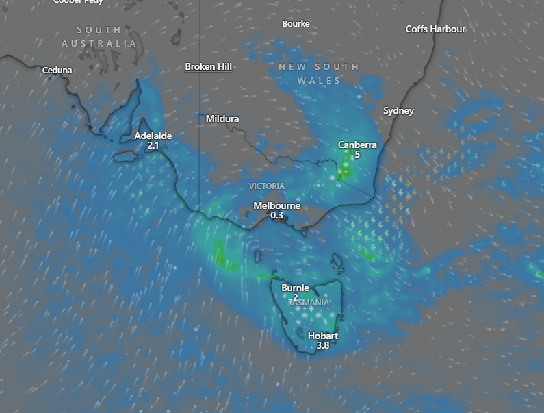
Areas including the Central Tablelands in NSW, west of Sydney, and a broad region north of Melbourne in Victoria are likely to see significant snowfalls.
From Thursday evening into Friday, snow will mostly fall at elevations around 1000 meters, but by Saturday, the snow level could drop to approximately 500 meters as the coldest air arrives.
Canberra will be a point of interest this weekend as the NRL teams, Raiders and Wests Tigers, face off on Saturday. In 2000, a game played there was affected by a blizzard, and some are wondering if similar conditions will return.
Forecasters expect snow to have eased by the afternoon kickoff, but chilly weather with some light snow showers is still possible.
The snowfall is expected to benefit ski resorts, potentially extending the ski season into late September or early October.
Motorists are advised to exercise caution as snowy and icy roads will create hazardous driving conditions, not only in alpine areas but also beyond.